Precision Groundwater Mapping for High-Yield Borehole Success
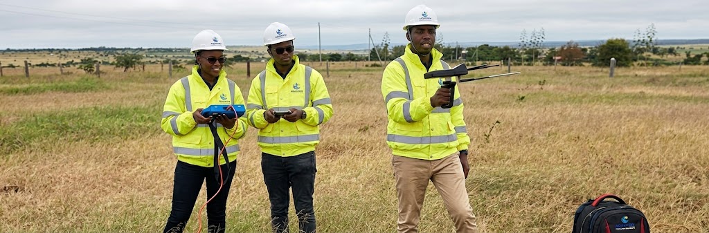
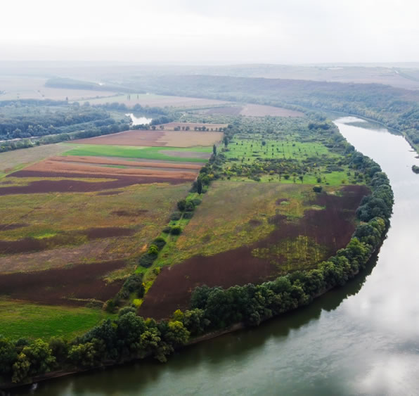
A successful borehole project begins long before the drilling rig arrives on-site. At Aquaview Engineering Kenya Limited, our hydrogeological surveys combine advanced geophysical exploration, geological mapping, and satellite imagery to eliminate guesswork, mitigate financial risk, and accurately locate viable underground aquifers across Kenya's diverse terrain.
Key Survey Deliverables
Geophysical Resistivity Mapping
Groundwater Yield & Depth Estimation
Water Quality & Salinity Projections
Environmental & Social Impact Assessments (ESIA)
Why Hydrogeological Surveys are Essential
Potential Risk
Without a Professional Survey
With Aquaview Hydrogeological Survey
Drilling Outcome
High risk of dry boreholes or low water yield.
Scientifically verified drilling points with maximum success rates.
Capital Investment
Risk of wasted capital on incorrect depths or dry holes.
Optimized drilling depth, preventing unnecessary meter costs.
Legal Compliance
Risk of heavy fines or project shutdown due to unpermitted drilling.
Fully compliant with WRA and NEMA statutory permits.
System Longevity
Risk of overpumping and early borehole failure.
Sustainable abstraction limits calculated for long-term supply.
Our Survey Process
01. Desk Study & Satellite Analysis:
Reviewing regional hydrogeological maps, fault lines, and historical borehole data.
02. On-Site Geophysical Survey:
Conducting field resistivity soundings and structural profiling at key property coordinates.
03. Data Interpretation & Report Generation:
Modeling subsurface data to compile a comprehensive Hydrogeological Survey Report.
04. Permit Filing & Site Marking:
Submitting reports to statutory bodies (WRA/NEMA) and marking the exact drilling spot on-site.Accordion Content